
By Kareff Rafisura, Ladislav Charouz and Elena A. Pronina*
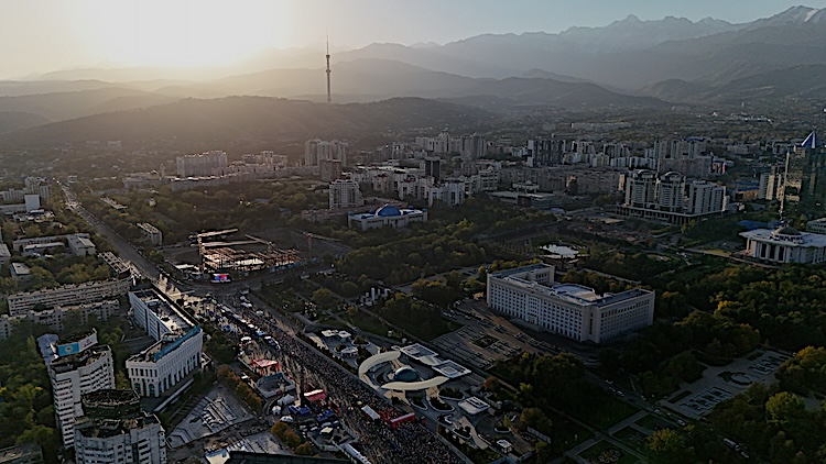
BANGKOK | 26 October 2026 (IDN) — Cities in North and Central Asia are growing quickly, bringing them face to face with the interlinked challenges of rapid urbanisation, rising population density, and heightened vulnerability to disaster and climate risks. World Cities Day is a good opportunity to consider these challenges and how geospatial technologies can help address them.
Following up on an earlier ESCAP article about satellite-enabled urban solutions in East and North-East Asia, this piece turns to North and Central Asia, where governments are applying geospatial technologies and satellite data across a growing range of areas – from monitoring and urban planning to tracking accessibility.
Mapping Disaster and Climate Risks
Disaster and climate resilience is one such area. Kazakhstan, for example, uses a satellite monitoring system, JerScan, to keep track of ageing infrastructure, reducing the need for physical field inspections.
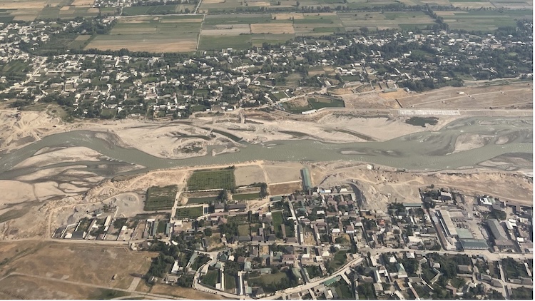
In Dushanbe, Tajikistan, high-resolution satellite imagery, combined with field observations, helped assess buildings’ seismic vulnerability. In Khujand, Tajikistan, a study estimated economic losses, damage probabilities and the mean damage ratio for different building types.
In the Russian Federation, Roshydromet’s Central Department maintains an online Flood GIS that consolidates reported inundation events in Moscow and surrounding regions since 2020 into a single map, revealing recurrent flooding hotspots.
Geospatial Tools for Urban Planning
From Satellite Data to Public Services
In Uzbekistan, satellite data is increasingly being used to inform policy decisions and public investment planning. The country has used satellite data in its five-year assessment of economic activity based on night-time light. The results, which were largely consistent with official statistics, also shed light on urbanisation levels and enable policymakers to identify areas for infrastructure investment and development support. Another assessment was undertaken in Tashkent, where satellite imagery was used to create a digital inventory of green areas, allowing authorities to assess the extent of urban green cover.
Geospatial technologies can also improve city accessibility. In Kyrgyzstan, Bishkek has developed an accessibility map to help users with disabilities plan their routes. A similar map in Kazakhstan uses a traffic-light system, showing accessible areas in green, partially accessible in yellow and inaccessible in red. The online platform supports people with disabilities, as well as senior citizens, parents with small children, and pregnant women, in navigating the city safely. Azerbaijan also uses geospatial technology to boost accessibility. Its GIS-based social services map helps users locate the nearest social service centres on a centralised platform.
From Specialist Tool to Everyday Governance
These examples, which are among the 100 practices featured in ESCAP’s Geospatial Practices for Sustainable Development in North and Central Asia 2026: A Compendium, will become increasingly common as countries across the subregion continue to invest in space programmes, Earth observation capabilities and geospatial infrastructure.
As institutional capacities grow and access to geospatial technologies expands, governments are strengthening the enabling conditions for effective use of geospatial data, including data governance frameworks, national geospatial strategies, technical skills and partnerships among government agencies, academia and the private sector. These developments help planning and policymaking draw on geospatial evidence. As a result, geospatial technologies and satellite-derived information are evolving from specialised technical resources into practical tools that help governments advance sustainable development across the subregion.
*Kareff Rafisura, Chief of Disaster Risk Reduction Section, ESCAP; Ladislav Charouz, Former Contractor of ESCAP and Researcher, Oxford University; and Elena A. Pronina, Senior Lecturer, Department of Linguistics and Translation Studies, Odintsovo Campus, MGIMO University. (IDN-InDepthNews)